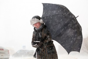
The weather over North America has been hitting the headlines over the last few days with record breaking cold conditions spreading south from the Arctic. This has been linked to a ‘polar vortex’, but what is this and what could it mean for the UK? The MetOffice explains…
What is the Polar Vortex?
The Polar Vortex is a term normally used to describe the persistent large-scale low pressure area situated around 50km above the poles in the stratosphere. When the vortex breaks down the eastern US is often cold, but this breakdown hasn’t happened yet. It is not clear to what extent the Polar Vortex is influencing surface weather at the moment.
What is happening over the USA?
The American use of the phrase ‘polar vortex’ referring to the extremely cold conditions over North America is slightly different to traditional definition above. It refers to features lower in the atmosphere – in the troposphere, where our weather happens.
In the winter a deep reservoir of cold air becomes established through the atmosphere over the Arctic because of the lack of sunlight. This is usually held over high latitudes by the jet stream.
What is happening over North America is that the jet stream has weakened and moved southwards in the wake of a low pressure system as it moved east over the Atlantic. This allowed the reservoir of cold air to move southwards across the US, resulting in extremely low temperatures.
What does it mean for the UK? Does it mean it will get cold here?
Not at the moment. We get our coldest weather in the winter when the winds blow from the northeast or east – so from the continent.
In fact the cold weather in the US can strengthen the jet stream and bring the UK milder and wetter weather, much as we have seen over the last few days.
Currently our winds are blowing from the west and, while we will see the temperatures dropping from the mild conditions we have had during December, they will only be returning to something much closer to normal for the time of year.
© MetOffice


